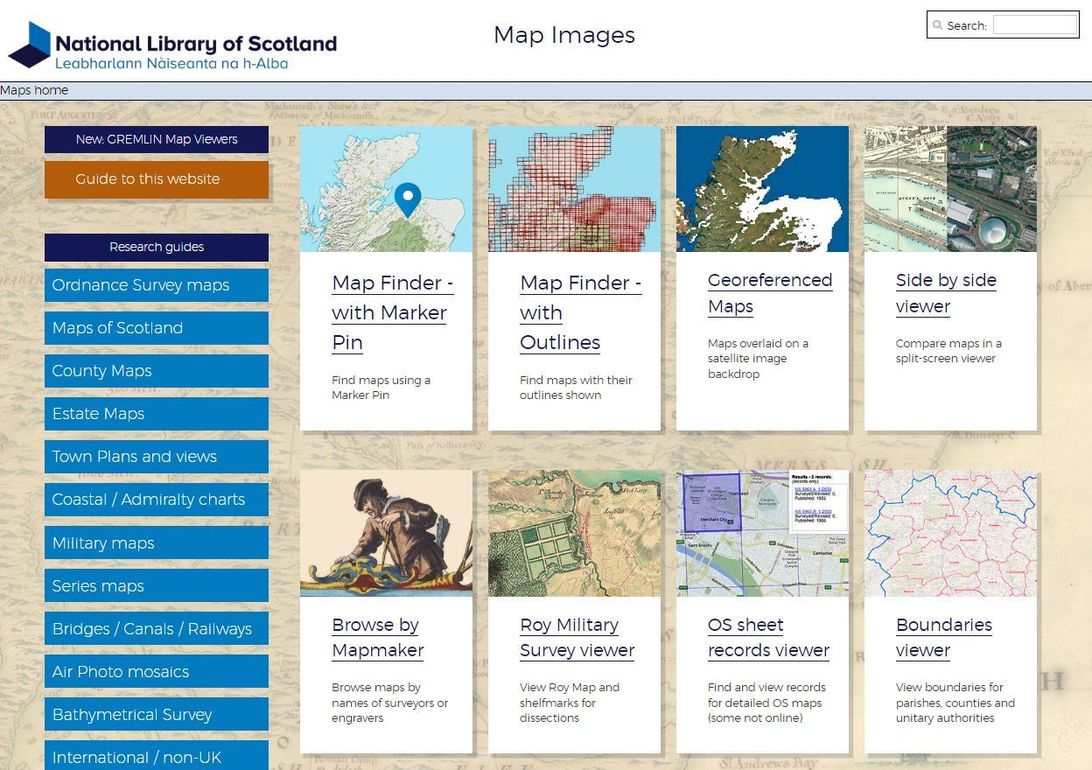




Maps generally fall into two categories: those that stand alone and those where supplementary information complements the map information. Virtually all maps were developed for very specific reasons; they were not developed solely for family historians.
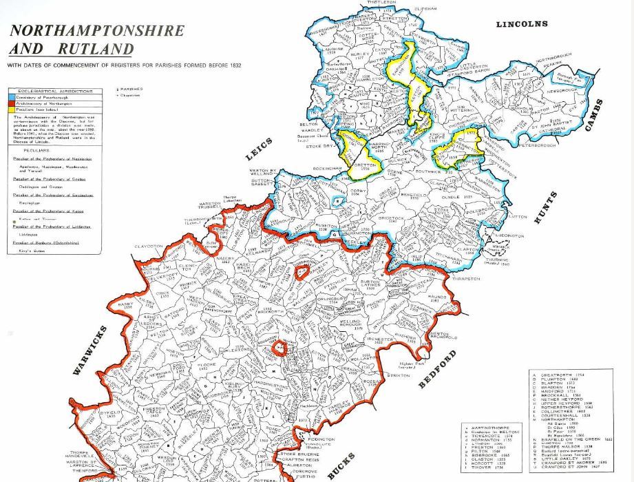
Initially, you may use a map to locate a parish. The Phillimore Atlas of Parish Registers has many excellent maps showing parish locations in outline, enabling you to easily determine contiguous parishes. The guide also reproduces a version of an old county map devised around 1834 so that you get some idea of the geography at the time.
When reseraching ancestors who lived in large cities, it is useful to use a parish street map as these show the streets within a particular parish - civil or ecclesiastical. This is important when establishing which church was nearest to where your ancestor lived.

These large-scale maps could even pinpoint the exact position of the house in which your ancestors lived. It would be unwise, for example, in finding a family in the 1911 census, to then ignore the maps and information which exist within the records of the 1910 Valuation Survey as this will enable a census address to translate to a real property.
Between 1910 and 1915, surveyors went all over the country, surveying and making value assessments of all property in Britain. This information is in field survey books created by the surveyors. By examining these books, you can find out what your ancestors house was built of, sometimes see a floor layout of the accommodation and even establish the condition of the fabric. Many of these records are now available online but the complete records are held by the National Archives.
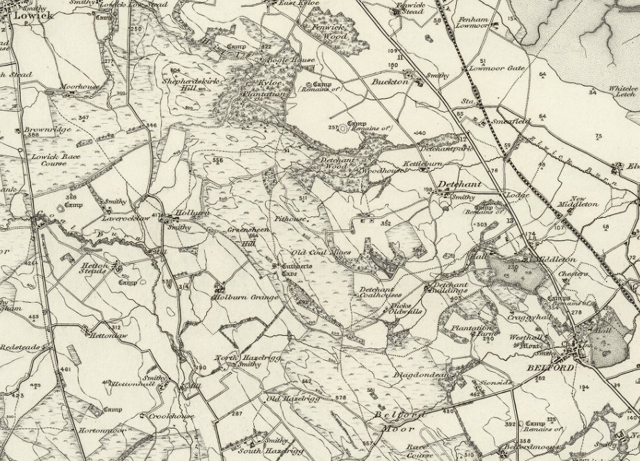
During your research you will realise that older, more specialised maps and estate plans become a valuable resource as they show detailed information relative to the time period; they also give useful clues in many diagrams which relate to family mobility. They show where roads, railways, canals and rivers were - some of which no longer exist - and these in turn can point to likely migration routes. The National Archives, the British Library, many university libraries, all county record offices and many local studies libraries all have significant holdings of maps and plans covering a few hundred years.
The use of a contemporary map in research is fairly easy and therefore becomes as essential as looking at primary record sources such as civil registration, census returns and parish registers. However, a word of caution is necessary for various reasons. Modern maps can be misleading - street names can change, urban developments incorporate original rural areas and some urban areas are redeveloped completely. Equally, reservoirs can bury whole villages and aspects of the landscape may have altered significantly. There are various resources online for older maps, and historical maps can also be bought, so it is reasonably easy to build a visual panorama of your ancestor’s environment.
Maps help bring names, dates and places alive. They allow you to pinpoint a place, particularly if a hamlet or village has changed its name. When borders and boundaries changed, so did place names. Maps can also reveal what life was like in your ancestor’s local area. Topographical maps show the natural features of an area, such as hills, valleys, forests, or river estuaries. By analysing a topographic map, you can visualise whether it would have been easy or difficult for an ancestor to farm the land or have easy access to the closest town. Maps often help you find additional family history resources by revealing which administrative districts covered the area where your ancestors lived.